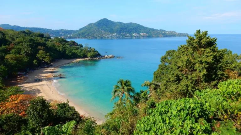
On a Kamala Phuket map, the subdistrict falls into three settings: the beachfront on the Andaman Sea, the Kamala hills that surround it on three sides, and the plains between them where most homes and businesses sit. Kamala’s own local government describes this mix of hills and plains running down to a wide beach.
If you are looking at Kamala real estate, it helps to know which setting an address is in. This Kamala Phuket map guide compares them using public map sources only: OpenStreetMap, the Kamala Subdistrict Administrative Organization and the Tourism Authority of Thailand. We give no distances of our own and no prices. Where the sources say nothing, we say so.
What does a Kamala Phuket map show?
Kamala is a subdistrict of Kathu district in Phuket. Its local government is responsible for 18.9 square kilometres, or 10,813 rai, divided into six villages: Ban Bang Wan, Ban Nuea, Ban Nok Le, Ban Khok Yang, Ban Hua Khuan and Ban Naka.
The borders are simple to picture. Choeng Thale subdistrict lies to the north, Patong Town Municipality to the south, Kathu Town Municipality to the east and the Andaman Sea to the west.
On OpenStreetMap, route 4030 is the main road through the subdistrict. One section is mapped as Kamala Main Road, and the southern section, towards the Patong border, is named Phra Barami Road. A smaller road, Layi-Nakkaley Road, is mapped in the south-west.
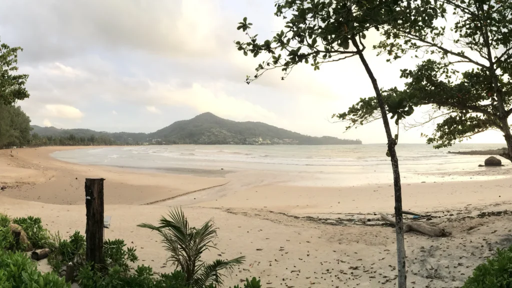
Along the coast, OpenStreetMap maps Kamala Beach (Hat Kamala) and several smaller beaches and coves inside the subdistrict, including Laem Sing beach and Nakalay Beach, plus the headland Laem Thai Phao. It also maps areas of woodland and scrub within the subdistrict.
Map data © OpenStreetMap contributors, available under the Open Database Licence.
How do beachfront, hillside and inland streets compare?
The table sums up what the public sources say about each setting and what you still need to check yourself.
| Setting | What the public sources say | What to check on the ground |
|---|---|---|
| Beachfront | A relatively secluded 2-kilometre beach, peaceful and quiet, with luxury resorts; mapped as Hat Kamala | Tsunami signage and routes, beach flags, sea and traffic noise, how the street drains after heavy rain |
| Hillside | The Kamala hills surround the subdistrict on three sides; woodland and scrub are mapped in the subdistrict | Road gradient and surface in the wet season, drainage on the slope, how far you will drive for daily errands |
| Inland streets | Most of the area is residential and densely populated, with tourism, business, hotels and entertainment; route 4030 runs through it | Noise from the main road, walking routes to shops, parking, what is planned on empty plots nearby |
What is the beachfront like to live on?
The Tourism Authority of Thailand describes Kamala Beach as relatively secluded, about 2 kilometres long, peaceful and quiet, home to luxury resorts and to Phuket’s Muslim community.
Living near the sand also means living with the sea. During the southwest monsoon, red flags on Thai beaches mean do not swim, and rip currents make swimming dangerous in places like Phuket. Our guide to tsunami preparedness in Kamala explains the warning system on this coast and what to check before you buy close to the shore.
What changes on the hillside?
The Kamala hills wrap around the subdistrict on three sides, so hillside streets can give height and a view over the bay. That height comes with weather to think about. The Thai Meteorological Department says the southwest monsoon, from about mid-May to mid-October, brings heavy rain, especially on coasts and on windward mountains.
Before you choose a hillside home, drive the access road after rain. Ask who maintains it, look at how water runs off the slope, and check whether the building has its own drainage on the uphill side.
What about the inland streets?
Between the hills and the sea lie the plains. Kamala’s local government says most of the area is residential and densely populated, a mix of tourism, business, hotels and entertainment, and that people work mainly in tourism, services, farming, fishing and livestock.
Inland streets suit buyers who want to walk to shops and cafés and drive less. The trade-off is closeness to route 4030, the main road. Visit at the times you would actually be at home: weekday mornings, evenings and a weekend afternoon.
Where does The Element sit on a Kamala Phuket map?
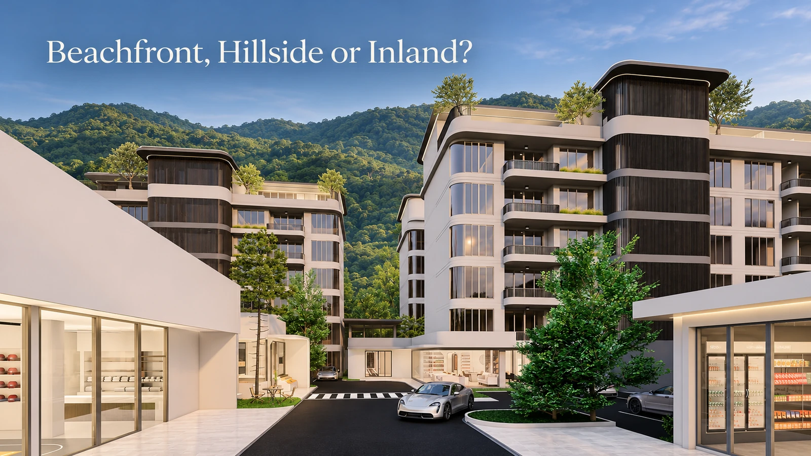
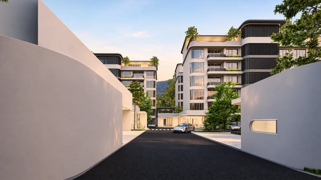
The Element is a low-rise condominium in Kamala. The project location guide puts Kamala Beach at about 5 minutes by car and Surin Beach at about 8 minutes. These are the project’s own estimates, not distances we measured.
For more on the neighbourhood, read Why Kamala Is Becoming One of Phuket’s Most Desirable Places to Live, and for the wider area guide, Kamala, Phuket Area Guide.
How should you use a Kamala Phuket map when you shortlist?
A Kamala Phuket map tells you where things are. It does not tell you what a street feels like, so use it to plan visits:
- Mark your shortlist on OpenStreetMap or another public map and note which setting each address is in.
- Visit each one twice, once in dry weather and once after rain if you can.
- Walk from the door to the nearest shop and to the beach, and time it yourself.
- Ask the seller for the ownership documents and have your lawyer check them.
- Ask your lawyer about zoning and building rules for the plot. We could not open an official zoning or building-control map for Kamala when we checked on 11 November 2026, so this article does not describe those rules.
If you would like to see where The Element sits and talk through the setting that suits you, contact our team.
Frequently asked questions
Which district is Kamala in?
Kamala is a subdistrict of Kathu district, Phuket. It borders Choeng Thale to the north, Patong Town Municipality to the south, Kathu Town Municipality to the east and the Andaman Sea to the west.
How big is Kamala?
Kamala’s local government is responsible for 18.9 square kilometres (10,813 rai), made up of six villages.
Does a Kamala Phuket map show zoning or building height rules?
No. We could not open an official zoning or building-control map for Kamala on 11 November 2026. Ask a qualified Thai lawyer to check the current rules for any plot or building you are considering.
Which beaches are inside Kamala?
OpenStreetMap maps Kamala Beach and several smaller beaches inside the subdistrict, including Laem Sing beach and Nakalay Beach.
Sources: Kamala Subdistrict Administrative Organization: basic information (read 11 November 2026, rechecked 22 November 2026) · OpenStreetMap: Kamala subdistrict, relation 14031380 (read via the Overpass API, 11 November 2026) · OpenStreetMap: Hat Kamala, relation 6892478 (11 November 2026) · Tourism Authority of Thailand: Hat Kamala (read 11 November 2026, rechecked 22 November 2026) · Thai Meteorological Department: climate of Thailand (read 11 November 2026, rechecked 22 November 2026) · TAT Newsroom: southwest monsoon marine safety (July 2018, read 11 November 2026).
Information note: This article is general information. Map details come from OpenStreetMap, a community map that changes as contributors edit it, and from official pages read on 11 November 2026. Travel times are the project’s own estimates. We give no distances of our own and no prices. Zoning and building rules are not covered; check them with a qualified Thai lawyer or the relevant office.